As of today the Global Ortho project is 85% acquired and published. Just this month, Bing Imagery Technologies hit a significant milestone by completing 100% of aerial photography over the United States. The photography in Europe is slated to be finished by this fall and all updated imagery should be published by the end of 2012.
There's something intoxicating about aerial imagery, no matter what service you use, so I decided to take in some highlights on my Lumia 800...

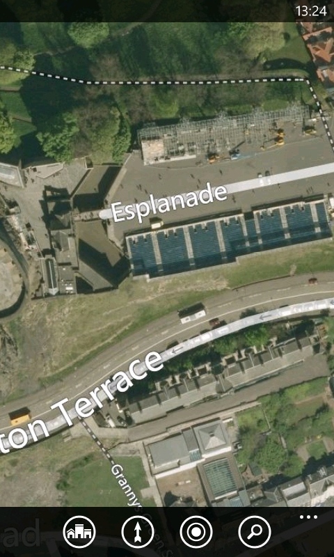
The big summer events in the UK - the Olympic 100m start line on the left, and the Edinburgh Tattoo on the right.
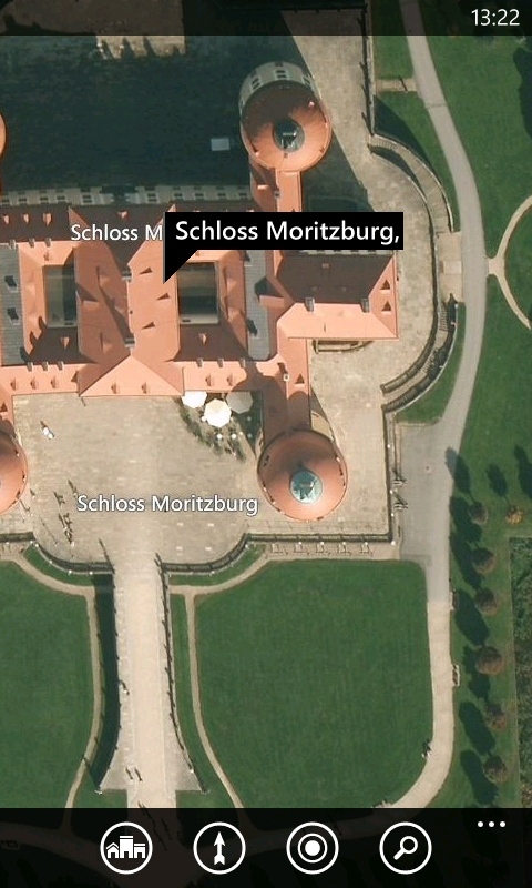
Can you spot the Blackbird (left) and some fairytale castles in Germany (right).
The data is available now in the Maps application, and you can read more at the Bing Maps Blog.