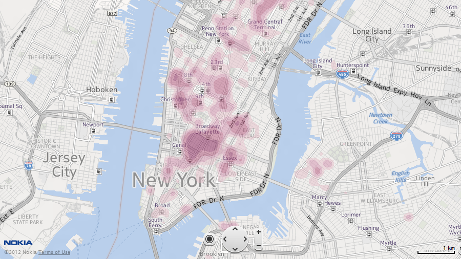
New York POI densities
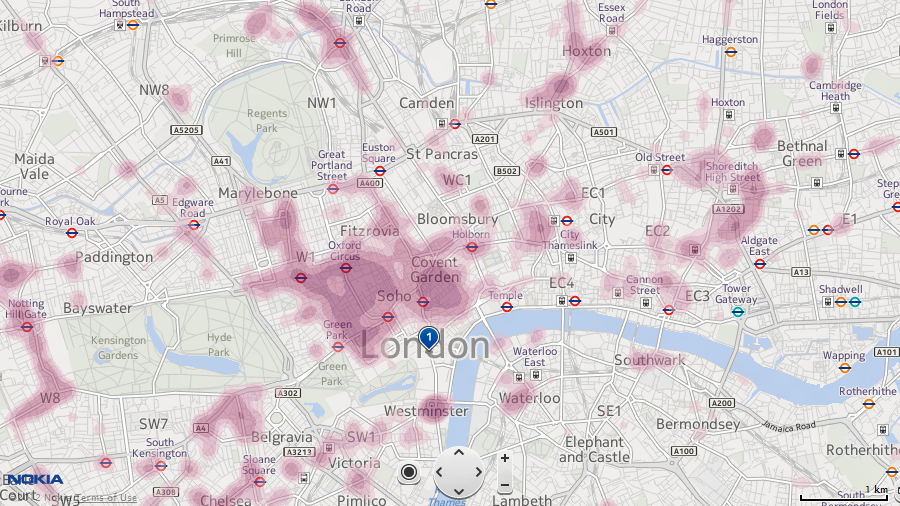
To that end, the Nokia Maps web team have introduced heat maps to indicate the relative density of POIs across a given area. This functionality isn't yet in the mobile clients for Symbian and Windows Phone 7, but we wouldn't be surprised if Nokia added it in the future.
You can try Nokia's heat maps out for yourself by visiting http://maps.nokia.com/, then drag to an area you're planning to visit and select a category from the 'Features' drop down list in the top-right corner.

London POI heat map at 'high altitude'

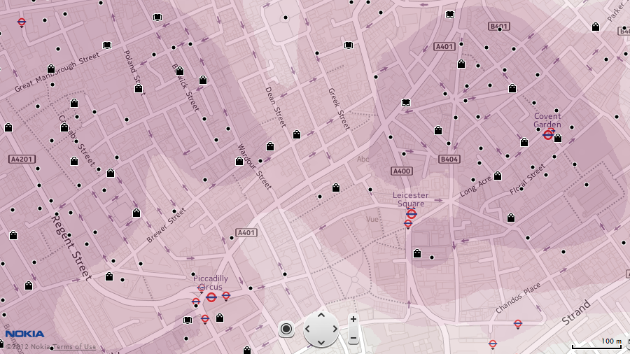
Zooming into a 'hot' area begins to show all of the POIs
