Here's the new version of gMaps in action:
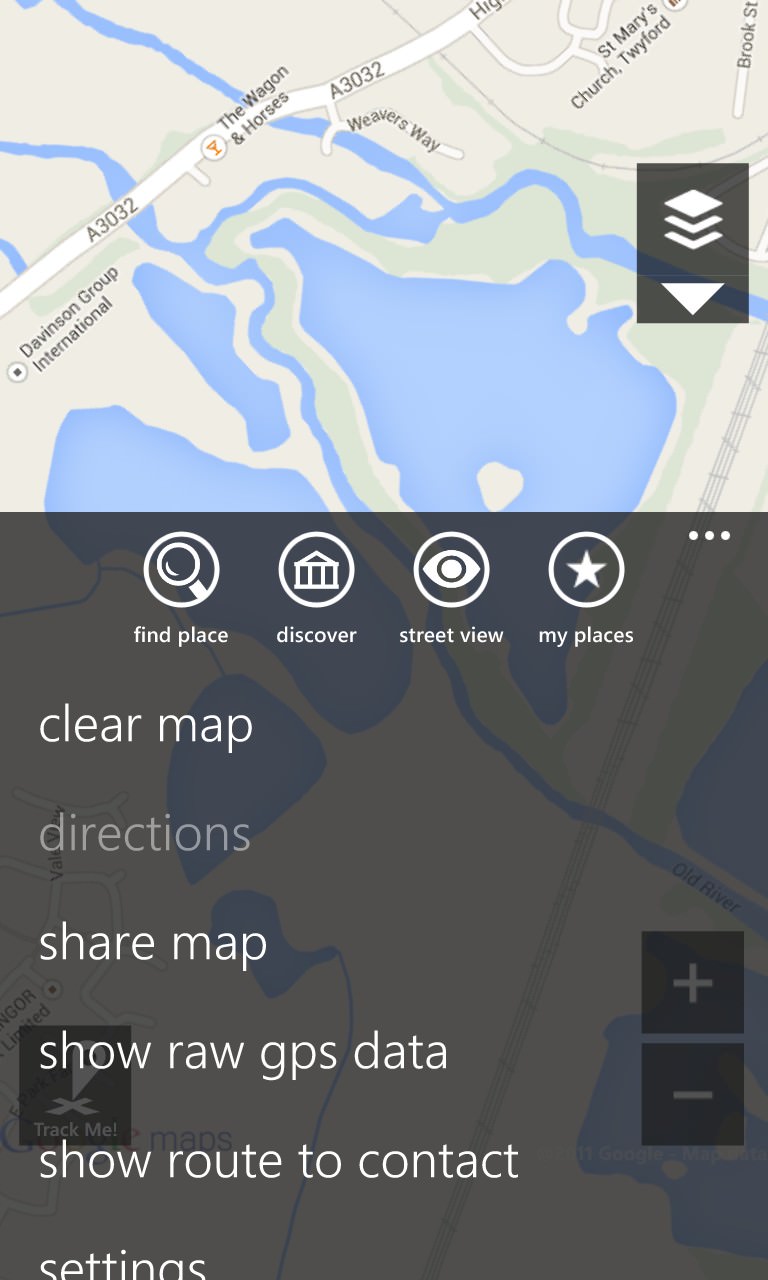
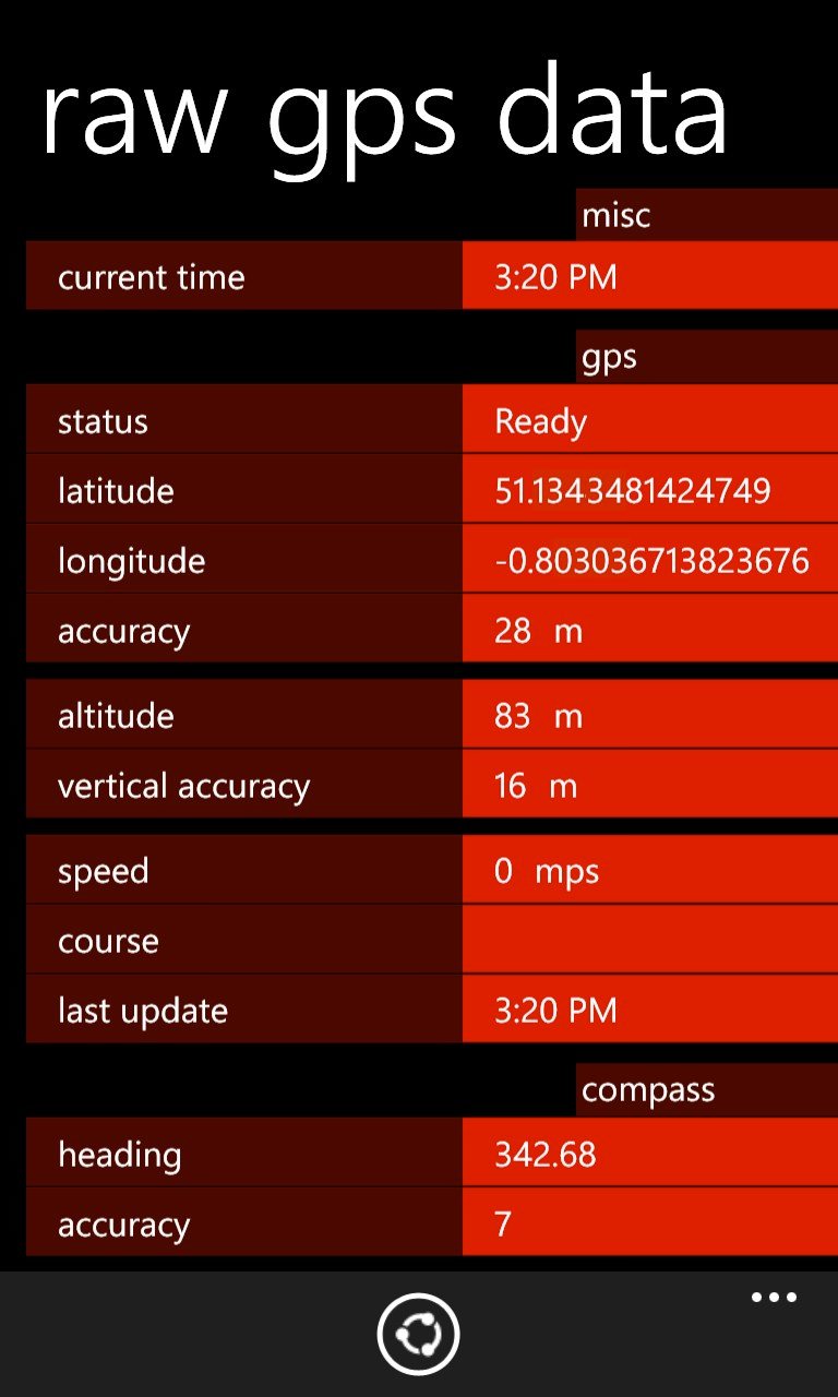
New on the menu is the option to look at raw GPS coordinates and data, as shown here. One thing's missing though - a plot of the satellites locked onto and their azimuths etc. Perhaps this isn't accessible via the phone hardware's APIs? I can't find any other apps on Windows Phone that offer this data, so familiar to users of Android or indeed Nokia's older Symbian handsets.... Also missing are options to display position in arc minutes and seconds rather than simple decimals.
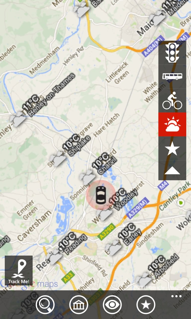
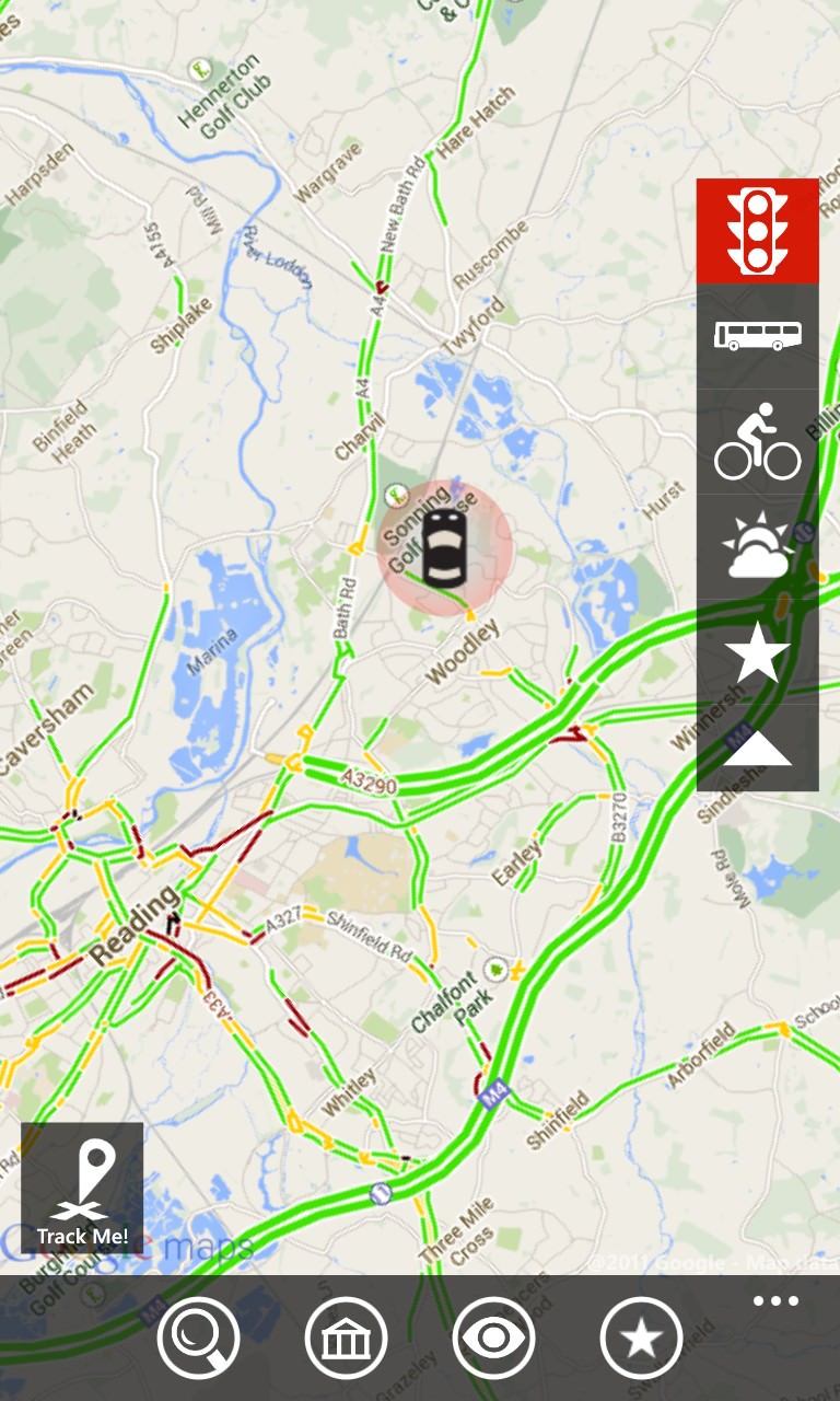
Slightly gimmicky in gMaps is a weather 'layer', with symbols that are hard to make out precisely in their current size - more useful is the traffic layer (right), with red showing traffic at a near standstill - looks like Reading's going to be hard to drive into - as usual!
The full feature list for gMaps now reads as:
- Find your location on the map and track current speed
- Layers support (street, satellite, traffic, bike, weather, etc)
- Search for venues using powerful local search
- Discover (advanced categorized customizable local search)
- Directions (car, bicycle, public transit or walk)
- Routes, alternative routes and restrictions
- Ultimate Street View (360-degree, panoramic, ability to move)
- My Places (favorites, pinned, recent)
- Driver mode (rotation, directions, auto-reroute)
- Compass support
- Imperial/Metric units autodetect and switch
- Share map or place by sms, email, etc
- Route to contact
- Night mode
- Live tiles
Impressive stuff. You can download gMaps here for free (with ads) or buy the ad-free version here in the Store.