From the Bing Maps blog:
We are happy to announce the release of new satellite imagery covering 290 cities around the world in partnership with Airbus. The cities in this latest update are in Canada, France, India, Italy, Japan and Spain with the new imagery totaling 21,000 square kilometers.
Several examples were then given, so I checked them out on one of my Windows 10 Mobile smartphones:

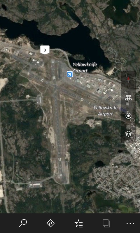
Yellowknife in Canada! The planes on the ground make an easy comparison to other aerial mapping systems - here roughly half the resolution of Google Maps. Oh well.

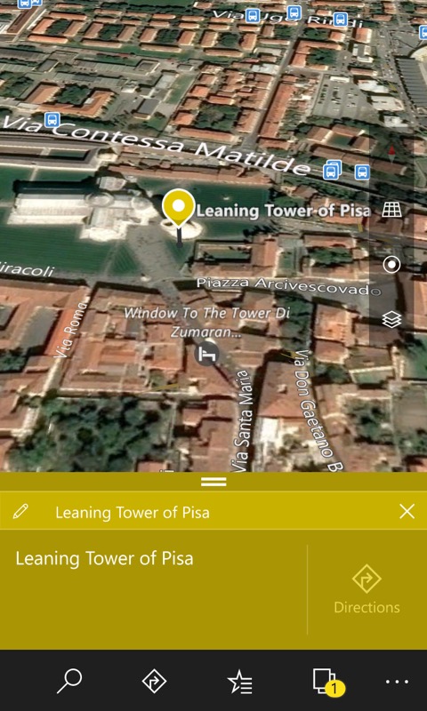
Of course, the aerial map is just a 2D photo, though can pretend for some areas by using two fingers to put a 3D perspective in, and then pan through as if flying over - in this case - Pisa, in Italy. No leaning tower in this mode, of course, just a stretched out bitmap, however newly captured!
Very good detail, though I checked over on Google Maps and the Mountain View imagery is more detailed still, by a factor of two. Oh well. Good to have better maps generally though, within Microsoft's own ecosystem and domains.
The new aerial maps should be visible in all Microsoft maps-related apps and properties, including on the phone here. [Note that older Windows Phones (i.e. 8.1) use HERE Maps instead.]
