As usual with video content, click through to YouTube if you want maximum quality and resolution!
It's quite amazing what has been achieved, though as the video points out, the exact same data and much of the same visualisations are available for free to anyone with a Windows 10 device, including smartphones. OK, so using your finger to 'fly' over the Space Needle isn't quite as sexy as coasting over it in a simulated plane, but hey, it's visually very similar and costs absolutely nothing. No gaming PC, no time learning controls, no software purchases needed. Just a Windows 10 PC or, as shown below, phone.
Which is pretty cool. See below for a quick pass around and over the aforementioned Space Needle on my Lumia 950 XL:
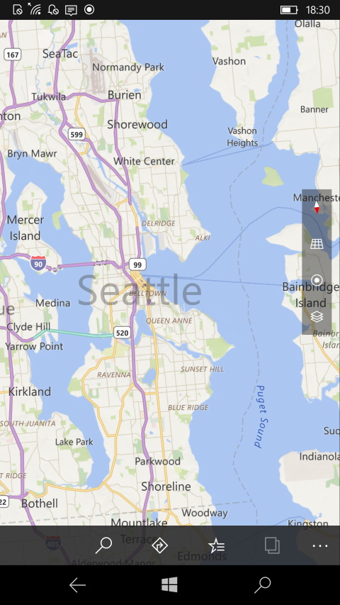
Starting in Seattle, of course!
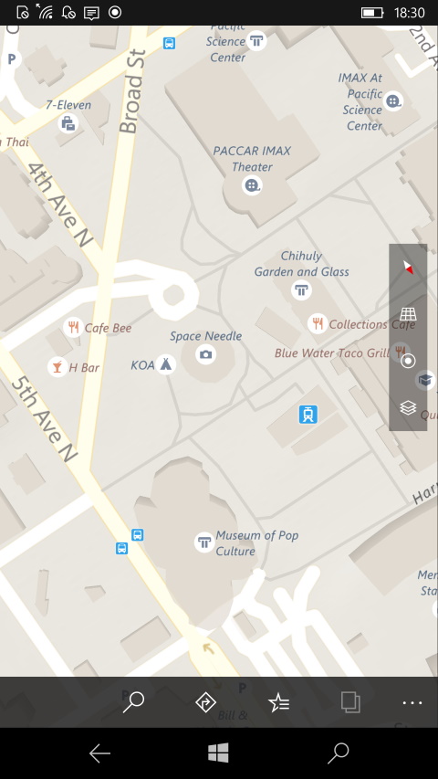
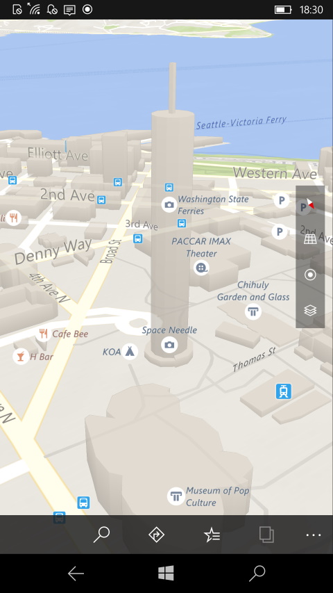
Find the Space Needle, then tap on the perspective view to reveal the tower's basic elevation...
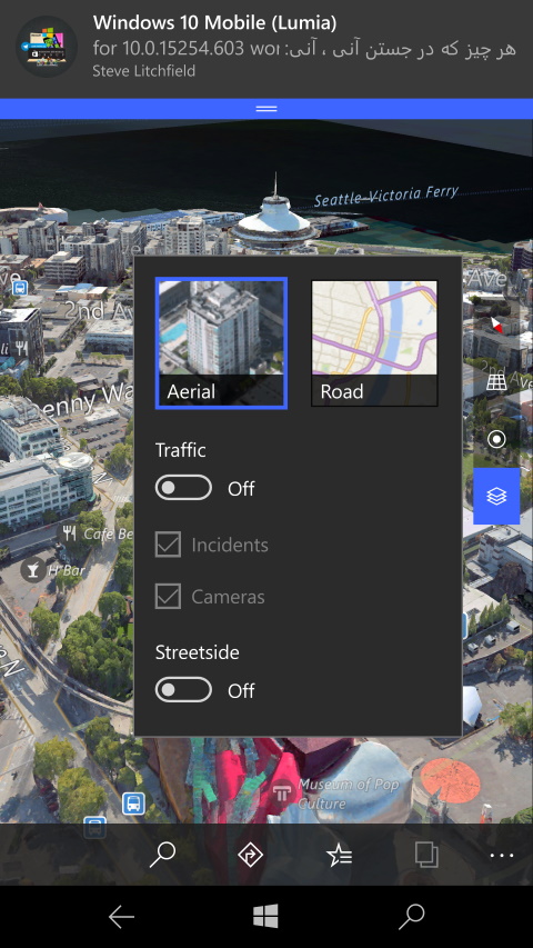
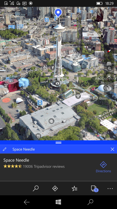
Now switching to 'Aerial' view/layers and lo and behold you're hovering above and to one side of the Space Needle!
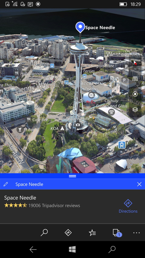
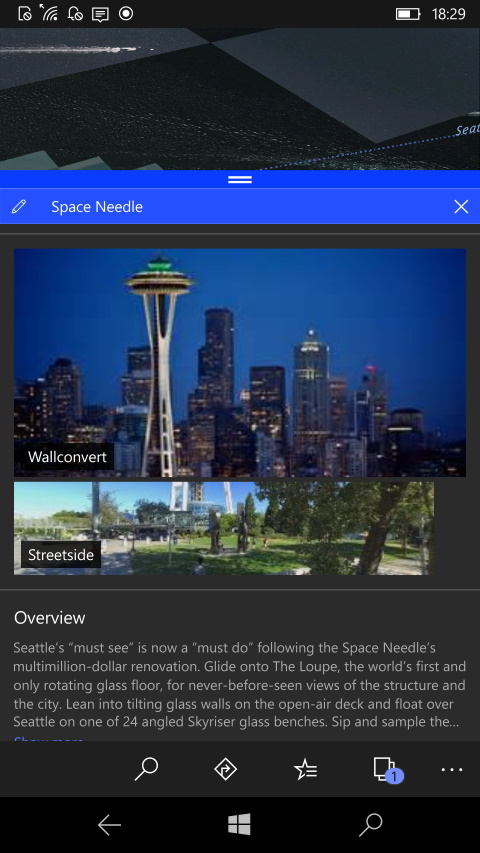
The modelling is full 3D too, so you can use multi-touch to pan around, rotate the view, and admire the tower from any vantage point. Or just 'fly' around generally. On the right here, don't forget Maps' detailed information panes on such points of interest.
Much of the world is 2D even in the latest (Bing) Windows 10 Maps, with the elevation data adding the extra 3D hills and valleys you see in Flight Simulator. But the aerial detail, the tens of thousands of 3D modelled points of interest, are all there for you to enjoy for free on your Windows 10 Mobile phone, tablet or laptop.
Comments welcome. What other lateral thinking uses can you think up for all this free data and these visuals?
