From the MacRumors post:
In addition to regular public transport information, Apple now highlights several regions in which transit information is displayed in real time. These include the whole of Canada, England, the Netherlands, Scotland, Sweden and Wales, as well as 32 metropolitan regions in Australia, China, and the United States.
Meanwhile, support for Apple's "Nearby" feature has been expanded and is now available in the following 31 countries: Argentina, Belgium, Brazil, Croatia, Czech Republic, El Salvador, Greece, Hong Kong, Hungary, India, Indonesia, Ireland, Italy, Macau, Mexico, Montserrat, New Zealand, Norway, Philippines, Poland, Portugal, Republic of Korea, Russia, Saudi Arabia, Singapore, South Africa, Spain, Taiwan, Thailand, Turkey and Vietnam.
Turn-by-turn navigation now also covers Aland Islands, Anguilla, Aruba, Bahamas, Bermuda, Bonaire, British Virgin Islands, Cayman Islands, Chile, China, Dominica, Dominican Republic, Greece, Grenada, Haiti, Jamaica, Martinique, Montserrat, Palestinian Territories, St. Barth, St. Kitts and Nevis, St. Lucia, St. Vincent and the Grenadines, Turks and Caicos Islands and Uruguay.
Elsewhere, Apple has added 45 more airports where indoor maps are available, including Madrid, Prague, and Istanbul airport. Apple has also listed the 10 U.S. cities where Look Around is available: Boston, Chicago, Houston, Las Vegas, Los Angeles, New York, Oahu, Philadelphia, San Francisco and Washington.
Very impressive. Google Maps remains the no. 1 in this field, of course, with HERE WeGo being another cross platform contender (e.g. as used on my P40 Pro the other day), but Apple Maps is coming up fast in third place and - when you're lost - the more options to get you to a destination the better.
A couple of illustrative screenshots:
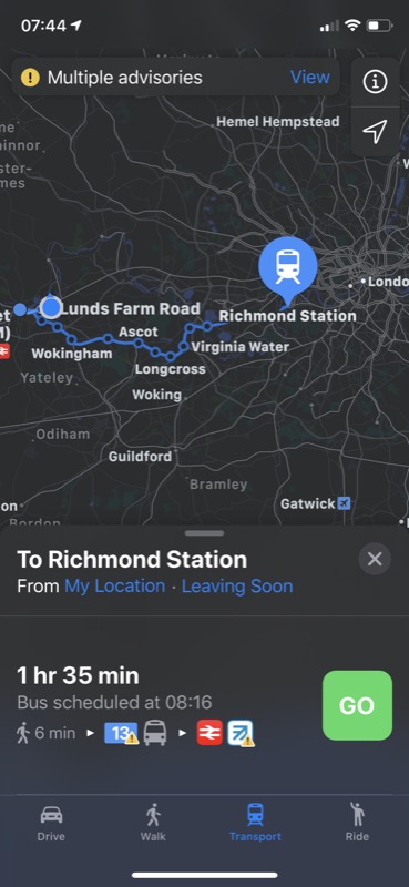
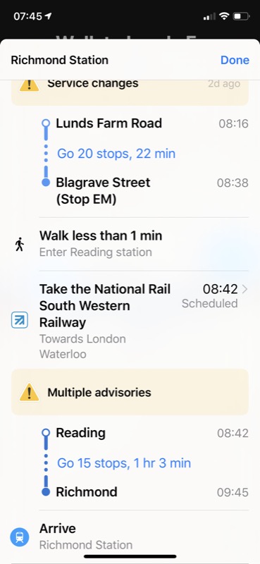
Planning a transit (public transport) route to Richmond. The advisories are COVID-19-related at the moment, of course.